View Item
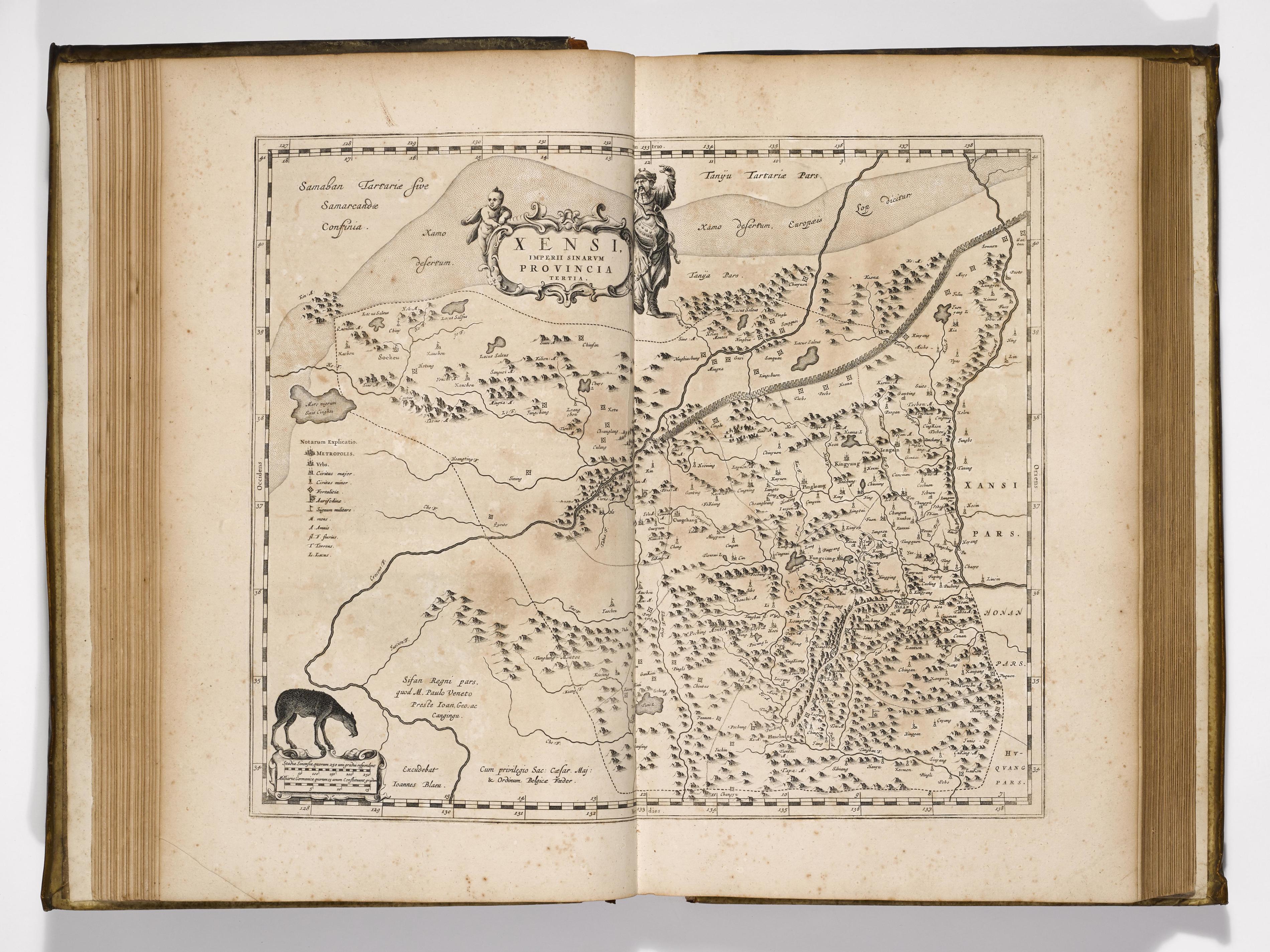
15. Martino Martini, Novus atlas Sinensis a Martino Martinio Soc. Iesu descriptu (Amsterdam, 1655)
The Great Wall is shown here in the map of Xensi Province. The Jesuit Martino Martini’s Atlas Sinensis was one of the most remarkable cartographic achievements of the seventeenth century. With its comprehensive maps of the Chinese provinces, it provided considerably more geographical information about China than was made available in the following two centuries and was reproduced in the Asia volume of Blaeu's Atlas maior. Martini was said to read Chinese as if it were his mother tongue.
Citation:
15. Martino Martini, Novus atlas Sinensis a Martino Martinio Soc. Iesu descriptu (Amsterdam, 1655),
Marsh's Library Exhibits,
accessed December 6, 2025,
https://www.marshlibrary.ie/digi/items/show/570


